The Mercator Projection, 1569
Wednesday, Sep 16, 2015, 9:16 pm
By:James Fraser
This was a popular map used by sailors in 15th century. The Mercator projection is a cylindrical map projection presented by the Flemish geographer and cartographer Gerardus Mercator in 1569. It became the standard map projection for nautical purposes because of its ability to represent lines of constant course, known as rhumb lines or loxodromes, as straight segments that conserve the angles with the meridians.
This Post Belongs To 15 Maps that Will Change the Way You See the World 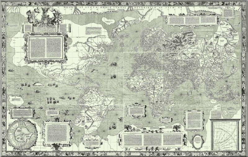
Related Content